


In an age where digital maps guide our travel, assist disaster management, and fuel location-based services, the ancient art of map-making has transformed into a high-tech career path. Cartographers — once seen as traditional geographers — are now highly skilled professionals working at the intersection of data science, design, and geographic analysis. So, who exactly is a cartographer, and what does it take to become one?
Who is a Cartographer?
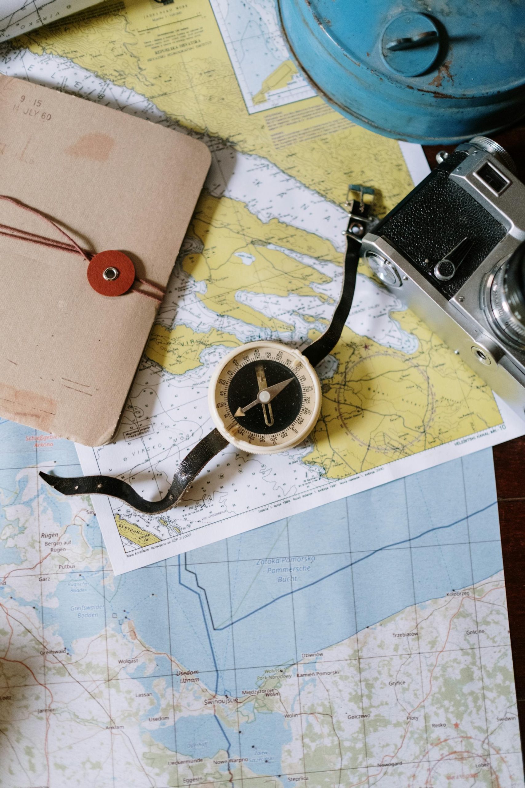
A cartographer is a specialist who creates and updates maps — both digital and physical. But their work goes far beyond simply drawing roads or plotting landmarks. They analyze spatial data, design maps for specific purposes, and help people understand geographic information visually and accurately. Whether it’s for weather predictions, urban development, conservation projects, or even video game worlds, cartographers shape the way we perceive space.
Modern cartographers work with Geographic Information Systems (GIS), satellite imagery, and massive data sets to generate accurate and meaningful visuals. They play an essential role in making data-driven decisions in government, environmental policy, disaster response, transportation, and more.
How can one become a Cartographer?
To become a professional cartographer, a formal education in geography or related fields is typically required.
Bachelor’s Degrees:
- Geography
- Cartography
- Geospatial Science
- Environmental Science
- Surveying and Mapping
- Urban Planning (with GIS modules)
These courses cover fundamentals like physical geography, map design, remote sensing, and spatial analysis.
Master’s Degrees (Optional but Valuable):
- GIS (Geographic Information Systems)
- Cartography and Visualization
- Remote Sensing
- Spatial Data Science
A master’s degree can help students specialize and open doors to research roles, leadership positions, or jobs in international organizations.
In India, direct Master’s programs in Cartography are rare, but several top universities offer related degrees in Geoinformatics, GIS, and Remote Sensing.
✅ Top Indian Institutes:
| University/Institute | Program Offered | Notes |
|---|---|---|
| Indian Institute of Remote Sensing (IIRS), ISRO, Dehradun | M.Tech in Remote Sensing and GIS | Top choice for geospatial careers |
| Symbiosis Institute of Geoinformatics, Pune | M.Sc. in Geoinformatics | Industry-relevant curriculum |
| Indian Institute of Technology (IIT Bombay) | M.Tech in Geoinformatics and Natural Resources Engineering | High-end research focus |
| University of Madras | M.Sc. in Geoinformatics | Offers strong GIS fundamentals |
| Birla Institute of Technology, Mesra (Ranchi) | M.Tech in Remote Sensing | Includes mapping and image analysis |
| SRM Institute of Science and Technology | M.Sc. in Geoinformatics | Practical + research blend |
| Amity University | M.Sc./M.Tech in Remote Sensing and GIS | Private university with labs and tools |
Several universities worldwide offer specialized degrees in Cartography, GIS, or geospatial technology.
📌 Europe
| University | Program | Country |
|---|---|---|
| International Cartography MSc (Cartography M.Sc.) – Joint Degree by: – TU Munich (Germany) – TU Vienna (Austria) – TU Dresden (Germany) | Erasmus Mundus MSc in Cartography | 🇩🇪🇦🇹 (Highly reputed, specialized in cartography) |
| University of Twente (ITC) | MSc in Geoinformation Science and Earth Observation | 🇳🇱 Netherlands |
| University of Glasgow | MSc in Geoinformation Technology & Cartography | 🇬🇧 UK |
| UCL (University College London) | MSc in Geographic Data Science and Cartography | 🇬🇧 UK |
| University of Salzburg (Z_GIS) | MSc in Applied Geoinformatics | 🇦🇹 Austria |
📌 United States & Canada
| University | Program | Country |
|---|---|---|
| University of Wisconsin-Madison | MS in Cartography and GIS | 🇺🇸 USA (One of the best for Cartography) |
| University of Redlands | MS in Geographic Information Science | 🇺🇸 USA |
| University of Toronto | MSc in Spatial Analysis | 🇨🇦 Canada |
| Penn State University | MS in Spatial Data Science | 🇺🇸 USA |
| Clark University | MS in Geographic Information Science for Development and Environment | 🇺🇸 USA |
📌 Australia
| University | Program | Country |
|---|---|---|
| University of Melbourne | Master of Geographic Information Technology | 🇦🇺 Australia |
| University of New South Wales (UNSW) | Master of Environmental Management (with GIS focus) | 🇦🇺 Australia |
Skills Needed To Become A Cartographer
Cartography is a blend of science and art. To excel in this field, a mix of technical and creative skills is essential:
- Spatial Thinking: Understanding how objects relate in space is foundational.
- GIS Proficiency: Tools like ArcGIS and QGIS are industry standards.
- Design Sense: Aesthetics matter — a good map should be informative and visually clear.
- Data Interpretation: Maps often visualize complex datasets; understanding and cleaning data is key.
- Coding Skills: Basic knowledge of Python, R, or JavaScript can enhance GIS functionality.
- Communication: Translating data into a visual format that non-experts can understand is a core part of the job.
Tools of the Trade
Cartographers rely on a wide range of tools, both traditional and high-tech:
- GIS Software (ArcGIS, QGIS)
- Design Software (Adobe Illustrator, with plugins like MAPublisher)
- Remote Sensing Platforms (ENVI, ERDAS Imagine)
- Web Mapping Libraries (Mapbox, Leaflet.js, Google Earth Engine)
- Data Tools (Excel, Python, SQL, R for spatial data)
These tools help transform raw data into meaningful, engaging maps for public, academic, or private use.
Career Paths in Cartography
With digital transformation, the career options for cartographers have diversified significantly:
1. Government and Public Sector
National mapping agencies, land surveying departments, and defense sectors hire cartographers for topographic, navigational, and planning maps.
2. Urban Planning and Infrastructure
Cartographers support city planning, infrastructure development, and smart city initiatives by designing zoning and land-use maps.
3. Environmental and Disaster Management
Mapping flood zones, deforestation, biodiversity hotspots, and disaster-prone areas help authorities plan preventive strategies.
4. Technology and Navigation
Big tech companies like Google, Apple, and ride-sharing apps depend on cartographers and GIS analysts to maintain and improve mapping features.
5. Publishing and Media
Educational publishers and media houses need map designers for textbooks, news reports, and interactive visuals.
6. Freelance and Creative Mapping
Cartographers also find work designing fantasy maps for games, books, or décor — turning geography into storytelling.
Job Roles and Titles
Depending on specialization, cartographers can move into several roles:
- GIS Analyst
- Map Designer
- Remote Sensing Analyst
- Spatial Data Scientist
- Urban Data Planner
- Geospatial Intelligence Analyst
Salary Expectations
Salaries vary depending on geography, experience, and specialization:
- India: ₹3.5 LPA to ₹10+ LPA
- USA: $50,000 to $100,000+
- UK/Europe: £25,000 to £60,000
- Australia: AUD 65,000 to AUD 120,000+
Advanced GIS and data science roles command higher packages, especially in tech and urban development.
With advancements in satellite imaging, AI, and big data, cartography is evolving rapidly. Cartographers are no longer just map-makers — they are geospatial storytellers and data translators. The increasing demand for environmental monitoring, disaster resilience, smart transportation, and personalized navigation makes this a future-ready career.
If you love geography, design, and technology, becoming a cartographer could be your perfect route — literally and figuratively.


